
Buckley, WA - Ground penetrating radar can help contractors and project teams gather more information about buried utilities or concealed structural elements before excavation, drilling, saw cutting, anchor installation, and other construction work begins. Mt. View Locating Services uses ground penetrating radar for underground utility detection and concrete scanning across Western Washington, especially when the location or type of a concealed feature cannot be determined from the surface alone.
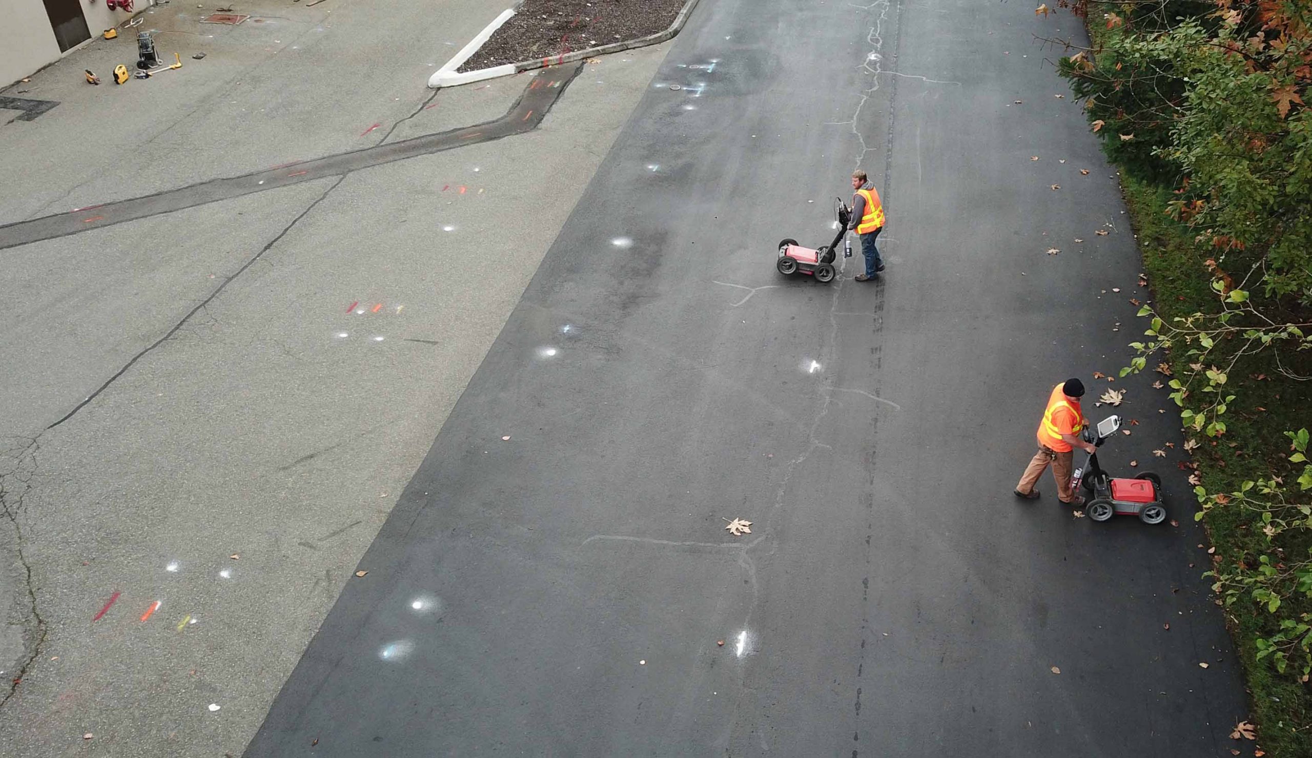
Ground penetrating radar, commonly known as GPR, sends electromagnetic signals into the material being scanned and records changes in the signals that return. Differences beneath the surface can create responses that help trained technicians identify patterns associated with utilities, structural components, and other subsurface anomalies. The Federal Highway Administration identifies GPR as an established technology for detecting, locating, and mapping underground utilities, while noting that the quality of the results depends on the material being investigated and conditions at the site.
When is ground penetrating radar useful compared with electronic utility locating?
Electronic locating is commonly used for utilities that can be traced through conductive material or an accessible connection, while GPR may provide another way to investigate features that cannot be traced in the same manner. Through Mt. View Locating Services' GPR and wall scanning services, technicians can investigate non-conductive utilities and other concealed features, including plastic pipes, underground vaults, tanks, and subsurface anomalies.
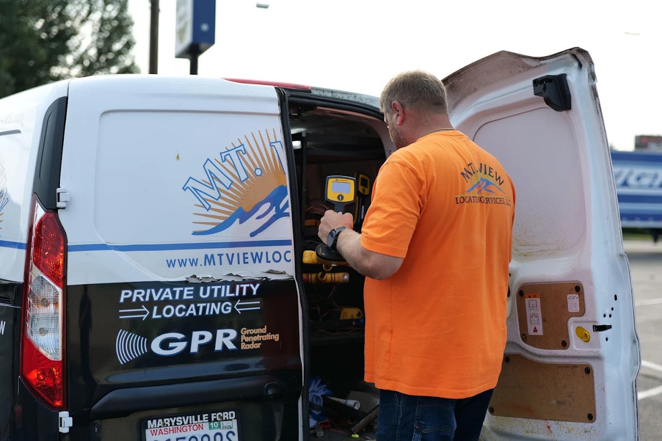
The appropriate locating method still depends on what is known about the site and what the project team is trying to identify. On some projects, GPR may be used alongside electronic locating rather than in place of it, allowing information from different methods to be considered together. Mt. View Locating Services evaluates those conditions before determining how to approach a locating project, with technicians interpreting the responses they see rather than assuming that every signal represents a particular utility. The Federal Highway Administration similarly notes that an isolated radar response does not necessarily confirm a buried utility and that multiple scans and experienced interpretation matter when evaluating GPR data.
GPR also has practical applications in concrete and wall scanning when crews need more information about what may be embedded within a structure. Mt. View Locating Services uses scanning equipment to investigate slabs, walls, and ceilings for embedded elements such as rebar, post-tension cables, and conduits. These features may not be visible from the surface, but their location can matter when a project calls for core drilling, saw cutting, anchor installation, or other work that will penetrate the concrete.
Scanning gives project teams additional information about the area before intrusive work begins. A slab or wall may appear clear from the outside while still containing reinforcement, electrical pathways, or other concealed components. Identifying indications of those features beforehand can help contractors make more informed decisions about where work should take place and whether the planned location needs to be reconsidered.
GPR results, however, are not identical from one site to another. Soil composition, moisture, clay content, target material, surrounding materials, and other conditions can influence the quality of the radar response. The Federal Highway Administration notes that significant moisture and clay can reduce data quality and that different utility materials produce different response strengths. For this reason, GPR is not treated as an underground X-ray or as a method that guarantees detection in every setting. Its value comes from selecting it for appropriate conditions and interpreting the information within the context of the specific site.
By combining that site-specific approach with other locating methods when appropriate, Mt. View Locating Services supports contractors, municipalities, property owners, and project teams that need a clearer understanding of conditions before work proceeds.
For additional information about the company and its service area, visit Mt. View Locating Services LLC on Google Maps.
About Mt. View Locating Services
Mt. View Locating Services provides utility locating and related subsurface investigation services for commercial, public, and private projects throughout Western Washington. Its services include private and contract utility locating, ground penetrating radar and wall scanning, site preservation, underground electrical fault finding, and video pipe inspections. The company approaches each project based on site conditions, the features being investigated, and the information needed before construction or excavation proceeds.
Media Contact
Name
Mt. View Locating Services LLC
Contact name
Tim Schaff
Contact phone
(360) 829-5166
Contact address
712 Main St #516
City
Buckley
State
WA
Zip
98321
Country
United States
Url
https://mtviewlocatingservices.com/
COMTEX_494141970/2888/2026-10-12T14:45:24
